Heaters will have to be dusted off earlier than usual today as an unseasonal cold snap moves up the country, bringing below-freezing temperatures in some areas and warnings of heavy snow.
MetService meteorologist Alain Baillie said tonight will be the coldest night of the year so far in a lot of places and Niwa is warning this coming winter is likely to be the coldest in three years.
“For places like Central Otago, it’s going to be down around freezing and probably below [freezing] in the higher country,” Baillie said.
Alexandra is expected to get to -11C overnight, with an average temperature of around 12C. Given the average temperature is usually around 21.6C, Baillie said this was extremely “unseasonable”.
/cloudfront-ap-southeast-2.images.arcpublishing.com/nzme/47AU3AUGZFE4BMI57MFCJADIM4.JPG)
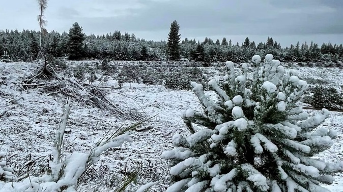
Snow settles in Naseby. Photo / Deane Cameron
Christchurch is expected to record an average of 11C with a 6C low, causing Transpower to urge residents to reduce electricity use last night to minimise the risk of power cuts due to surging electricity demand.
“A situation has occurred with electricity demand soaring because of unseasonable cold weather while a transformer at Islington substation is on a planned outage,” Transpower said.
“Because it is a cold evening, Transpower is advising people to stay warm by continuing to heat the rooms they are using but asking them to consider turning down the temperature a degree or two.”
The power company suggested Christchurch residents delay putting on a load of washing, delay using the dryer or dishwasher, delay charging electronic devices and electric vehicles, and turn off heaters and lights in rooms that aren’t being used.
/cloudfront-ap-southeast-2.images.arcpublishing.com/nzme/FT2XY4FI6NGKPMAHGGLWVPRKVU.JPG)
Snow falling at Porters Pass, Canterbury. Photo / George Heard
Baillie said anywhere south of the central plateau is going to be at least 6 degrees below average temperatures for this time of year.
Further north in Auckland, the temperatures won’t be as cold, but residents are still in for a chilly night with 8C lows and an average of 18C today. This is still significantly lower than the usual 23C average.
“So it’s going to be a very cold night, for both islands,” Bailee said.
The cold snap was expected to hit the Central North Island overnight last night with a snow warning for the Desert Rd issued from 1am to 8am today.
MetService has also issued road snowfall warnings on Lewis Pass (SH7) from 1am till 11am.
Warnings on Arthur’s Pass (SH73) and Porters Pass (SH73) have been in place since 10am yesterday, and are expected to continue until 10am today.
With flurries falling yesterday morning and heavy snow falling in higher alpine regions, parts of Otago and Canterbury were covered in a light layer of snow yesterday.
/cloudfront-ap-southeast-2.images.arcpublishing.com/nzme/27A4HQL6DJDBNFAYPQMY6VD2JE.JPG)
Snow in West Otago. Photo / Elliot Hancox
A high wind watch was in place for coastal Marlborough, including the Sounds, from 9am yesterday to 2am today. A strong wind watch was also issued for Wellington from 1pm yesterday to 2am today.
This is not a sign that winter is coming early, Baillie said, with temperatures returning to normal by the weekend.
“By the weekend, pretty much the whole country’s got average temperatures again within a couple of degrees of, so, yeah, this is just a particularly strong cold front that’s moved up the country today,” Baillie said.
Meanwhile, Niwa’s Ben Noll said this winter may feel noticeably cooler compared with the past three years, with this week’s temperatures bringing a sign of what’s to come.
Noll noted the temperature in Invercargill climbed only as high as 11.9C yesterday, making for the coldest recorded March maximum since 2009.
That year happened to feature something scientists say is gradually under way now: the formation of an El Niño climate pattern.
Traditionally, this regime brings the opposite of La Niña, which has contributed to a trio of record-warm winters.
This month, scientists have been watching La Niña’s unusual three-year reign come to an end, with help from a tropical phenomenon called a westerly wind burst, which has effectively pushed it off the stage.
And as our climate state shifted toward El Niño, Noll said, we might not see as much of that abnormal winter warmth in 2023.
“The tendency may be for more southerly winds like we’re seeing this week,” he said.
“Over the last couple of winters, we saw more of a northerly wind pattern, which certainly isn’t what we’d consider a cold wind direction.
Noll said the winters of 2020, 2021 and 2022 had come in at 0.97C, 1.16C and 1.2C above average respectively – and last year’s also happened to be New Zealand’s wettest on record.
Take your Radio, Podcasts and Music with you
Get the iHeart App
Get more of the radio, music and podcasts you love with the FREE iHeart app. Scan the QR code to download now.

Download from the app stores
Stream unlimited music, thousands of radio stations and podcasts all in one app. iHeart is easy to use and all FREE


