Several days of rain are in store for parts of the North and South islands as a flurry of weather systems moves across the country.
MetService has issued weather warnings for much of the length of the western South Island, from Tasman to Fiordland, as well as the Tararua Range and Bay of Plenty.
Meteorologist Angus Hines says many other parts of the country beyond the warning locations will also get significant wet weather in the coming days.
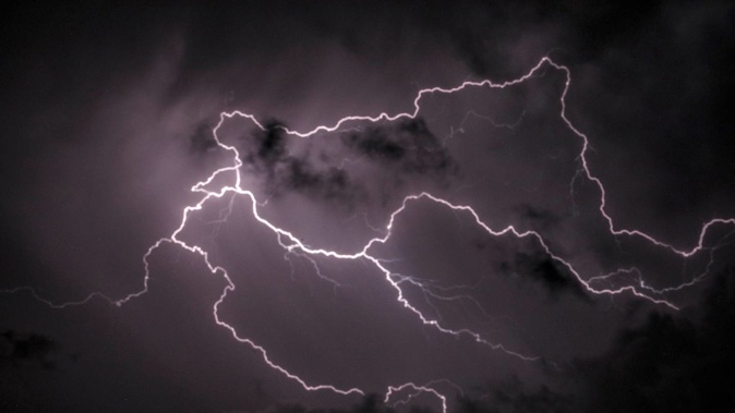
"Pretty much all western parts of the country, particularly from about Waikato southwards, are going to have some fairly active showers over the next few days, some of which could be heavy with hail and maybe even thunder and lightning."
An orange heavy rain warning has been issued for Buller and Westland, north of Greymouth from noon today until 5pm tomorrow.
People in these areas can expect up to 180mm of rain with a peak rate of up to 25mm per hour. Thunderstorms are possible.
MetService warned the heavy rain could cause streams and rivers to rise rapidly. Surface flooding and slips were also possible and driving conditions could be hazardous.
A heavy rain watch is in place until 10pm for Tasman, west of Motueka, and until 3pm tomorrow for Westland, about and south of Greymouth.
MetService said these areas will experience heavy rain and possibly thunderstorms.
In the North Island, the Bay of Plenty, east of Kawerau, is under an orange heavy rain warning from 6pm until 9am tomorrow. Up to 100mm of rain can be expected at a peak rate of 25 mm per hour, and thunderstorms are possible.
MetService said flooding and slips were also possible and driving conditions could be hazardous.
There will also be periods of heavy rain in the Bay of Plenty about and west of Kawerau, including Rotorua, and Gisborne, about and north of Tokomaru Bay.
MetService's Angus Hines said several rapidly moving frontal systems will bring multiple pulses of rain, showers and potentially hail to parts of the country.
"We've got several weather systems racing by, but given the overall flow, which is from the west to the east, it's those western parts of the country which are sort of first to face the music and get the most intense conditions each time a new front comes to town."
At this stage, it appeared the unsettled weather would last throughout the week and weekend as well, Hines said.
"Some days are worse than others but every day has a little bit in store for most of those western places."
The week ahead was a mixed-bag weather-wise for Auckland, with a couple of days of cloud, sun and reprieve from the rain.
Take your Radio, Podcasts and Music with you
Get the iHeart App
Get more of the radio, music and podcasts you love with the FREE iHeart app. Scan the QR code to download now.

Download from the app stores
Stream unlimited music, thousands of radio stations and podcasts all in one app. iHeart is easy to use and all FREE