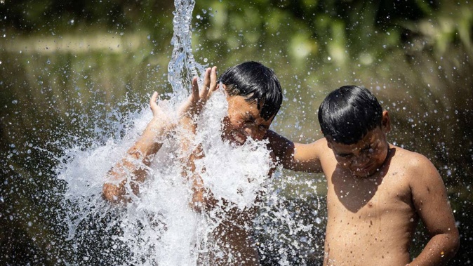
The country has recorded its hottest day of the summer so far - and forecasters are warning the 34.6C reached in Canterbury may only be the beginning, with more sweltering days likely this week.
“It’s going to be hot - straight up,” meteorologist Chris Brandolino told the Herald.
Auckland could reach highs of 27C and 26C until next Monday, while eastern regions of New Zealand could see more temperatures in the low 30s.

MetService has also issued heat alerts for the lower North Island, affecting Wellington City, Lower Hutt and Upper Hutt - where the temperature could reach 29C.
It comes amid water restrictions in Queenstown and Wellington, where yesterday Newshub reported dozens of people were lining up to buy water tanks with an expectation restrictions could become more stringent.
Most of Wellington was under a Level 1 restriction, meaning people could only use sprinklers and irrigation systems every other day; with Level 2 stopping people from using them at all.
Health authorities warn heat could kill
It has prompted warnings from health authorities of the potential for the heat to kill vulnerable people such as babies, the elderly, children, pregnant women and those already suffering from illnesses.
The Medical Officer of Health in Canterbury, Dr Matt Reid, encouraged people to stay out of the sun, avoid extreme physical exertion and make sure pets and people were not left in hot cars.
Reid: “As well as being sun-smart - slip, slop, slap and wrap - if you have to go outside, keep [your] houses cool by closing curtains on windows getting direct sun, open windows to get a breeze if it’s cooler out than in, and consider using the cool cycle on heat pumps.”
He said there was a risk people could get dehydrated, with symptoms of dizziness, weakness, or intense thirst and headaches. People should drink water and rest in a cool place, and seek medical advice if those symptoms persist.
High humidity set to return in Auckland
Brandolino, who is with the National Institute of Water and Atmospheric Research (Niwa), said: “For Cantarbians, for example, the upper 20s is a warm spring day; in Auckland, 27C, 28C, 29C is certainly noteworthy.”
Additionally, humidity in Auckland and elsewhere in the upper North Island could increase closer to the weekend.
“This will see a layer of discomfort. It makes it uncomfortable to sleep. It’s one thing to have a hot, humid day, but when you get consecutive days like this, it increases the odds of negative impacts for people susceptible to heat,” Brandolino said.
“People in Auckland will be at a point they may cry mercy.”
Hottest temp this summer
Hanmer Forest in North Canterbury hit 34.6C on Monday, he said. This was the hottest temperature recorded this summer so far.
But Thursday, in particular, may be the day temperatures really spike, he said.
MetService has forecast 30C for Blenheim and Timaru for Thursday, while Christchurch was tipped to reach 32C. Masterton and Napier could hit 28C and Twizel could hit 29C. Even Dunedin could hit 28C.
The national forecaster credited some of the hotter temperatures to strong northwesterly winds barrelling in from Australia, creating a “foehn effect”, with hot, dry wind further increasing temperatures, particularly in the South Island on Thursday.
Brandolino said: “You have hot days, but to get to the next level, distinguishable from those pedestrian hot summer days, you need that wind. It mixes the air and that’s when your temperatures really spike.”
Manawatū, Waikato could see 30C+
In the meantime, winds from the east would see hotter temperatures in the centre of the North Island, such as Manawatū and Waikato.
“These areas could flirt with the 30s, certainly the upper 20s,” Brandolino said.
Some factors behind the warm temperatures included above-average ocean temperatures around New Zealand, the “import” of hot air from Australia and a “mechanical mixing” of air, when it drops in elevation after passing over the Southern Alps.
MetService meteorologist Ngaire Wotherspoon highlighted the fire risk around the South Island.
“These dry conditions and high temperatures can be accompanied by increased fire risk, so be sure to check the risk for your area on the MetService website and checkitsalright.nz before lighting any fires,” she said.
Wootherspoon’s warning comes after a train created sparks while travelling down a set of tracks near Kirwee in Canterbury and lit a kilometre-long fire on Sunday evening.
Raphael Franks is an Auckland-based reporter who covers breaking news. He joined the Herald as a Te Rito cadet in 2022.
Take your Radio, Podcasts and Music with you
Get the iHeart App
Get more of the radio, music and podcasts you love with the FREE iHeart app. Scan the QR code to download now.

Download from the app stores
Stream unlimited music, thousands of radio stations and podcasts all in one app. iHeart is easy to use and all FREE