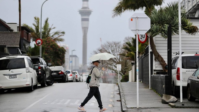
The number of lanes in use on Auckland Harbour Bridge have been reduced this morning due to strong winds as the week gets off to a wet and blustery start.
Fortunately, forecasters say this weather won’t hang around for long.
Waka Kotahi New Zealand Transport Agency said there will be only four lanes open in each direction across the Harbour Bridge during the morning rush hour.
“Expect delays. Take extra care especially if you are in a lighter or high-sided vehicle,” it said.
Today, a powerful, chilly southwest flow will develop over New Zealand. During the day, a trough of cold air in the upper atmosphere will also flow across the country, causing certain areas to experience unstable conditions.
A strong wind watch is in place for Northland, Auckland - including Great Barrier Island - and the Coromandel Peninsula, beginning at 9am this morning and ending at 6pm.
Southwest winds may become severe gales in exposed places, MetService warned.
Coastal regions in Whanganui, Taranaki, Waitomo and the western Waikato, as well as Auckland and Northland, are at low risk of thunderstorms during the morning.
The same risk carries on to the afternoon, also impacting northern Hawke’s Bay and Tairāwhiti/Gisborne as the day progresses.
The cold air trough in the upper atmosphere will sweep east across the North Island in the late afternoon and evening.
Regardless of whether thunderstorms form or not, hail is likely in all of these places, MetService reported.
A strong wind watch is also in place further down the country in Tairāwhiti/Gisborne and Hawke’s Bay north and east of Wairoa and Wellington today.
Then, from later Tuesday to Friday, a weak ridge of high pressure will form over New Zealand. However, on Thursday and early Friday, a weak front is likely to move northward over the South Island, and a low with an accompanying rainband may affect the northern North Island.
At this stage, MetService said there is currently only a small chance these features may cause severe weather.
Take your Radio, Podcasts and Music with you


