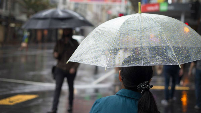
Dangerous weather and “relentless” rain is expected to continue up until at least Tuesday as residents are being warned to brace for damaging winds, flash flooding, heavy rainfall, “abnormally” high tides and disappearing beaches.
This morning a severe weather warning has been issued for a 500km stretch of the Queensland coast from Coolangatta to Hervey Bay and a number of areas in NSW’s Northern Rivers mid-north coast regions, including the Tweed Coast and Byron Bay and experts say the rain bomb isn’t going any where any time soon.
The warnings state there will be heavy rainfall, damaging winds, abnormally high tides and dangerous surf.
“Rainfall rates could be locally enhanced in the far north with thunderstorms, leading to the possibility of very heavy rainfall and dangerous flash flooding,” the NSW BOM warning reads.
“At this stage, the widespread heavy rainfall is expected to ease late Tuesday or early Wednesday, though thunderstorms may still produce localised heavy falls that may lead to flash flooding during Wednesday.”
It also warns of 90km/h winds along the coastal fringe north from about Yamba, possibly extending south to about Crescent Head on the Mid North Coast during the day.
There will also be waves exceeding 5m extending south to Port Macquarie during the day, possibly leading to significant beach erosion.
Abnormally high tides are expected along the coast north from about Ballina during this morning’s high tide, which may lead to localised coastal inundation.
South East Queensland is also being hit by the cyclone-like conditions, which worsened overnight with damaging winds and heavy rains battering the region.
Motorists have been warned to stay off the roads if possible with emergency services warning of flash flooding.
Locations which may be affected include Gold Coast, Brisbane, Moreton Island, North Stradbroke Island, Sunshine Coast and adjacent hinterland areas, Fraser Island, Caboolture, Cleveland, Redcliffe, Jimboomba, Beaudesert and Springbrook.
Monday will be the “critical time” for the affected areas as the trough moves further south and saturated rivers rise even further and the SES prepares for the worst in the first major La Nina event of the summer.
By Tuesday, three day totals of 300-600 ml are predicted to fall across the region.
Authorities are urging caution and to prepare for local flooding as a trough deepens and moves away from southeast Queensland in the coming days.
“The community should prepare for minor to major flooding so please check for warnings and updates over the coming days,” BOM meteorologist Jonathan How said.
“This is the most significant rainfall event since February and floods will pose a risk to many people.”
Overnight, there were over 700 SES call-outs, with the busiest areas being the Mid North Coast and northern New South Wales regions. RFS and Fire and Rescue crews were on standby as winds averaging 60-70 km/h and gusts exceeding 90 km/h were predicted along the coastal fringe north from the beachside town of Yamba overnight, and possibly extending south to about Crescent Head on the Mid North Coast Monday.
Take your Radio, Podcasts and Music with you


