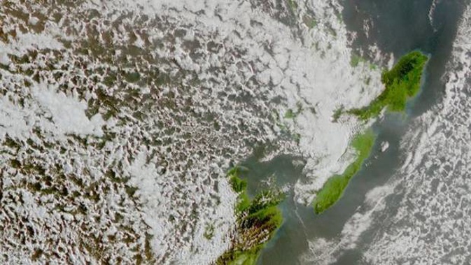
Weeks after it was hit by a severe storm, Northland is in for another big deluge.
But forecasters say the system predicted to soak the region on Tuesday - potentially bringing up to 100mm of rainfall - will prove more of a short, sharp hit than a slow-moving event.
MetService has flagged the bout in its Severe Weather Outlook, with high confidence rainfall accumulations could reach warning criteria in Northland.
There was also moderate chances of warning-level amounts of rainfall for Auckland, Greater Barrier Island and Coromandel - but low chances for the Bay of Plenty and Waikato.
MetService meteorologist Stephen Glassey said a low pressure system, currently located in the northern Tasman Sea off the coast of Australia, was expected to move eastward and on to the upper North Island on Tuesday.
The low was also expected to drag down moisture-packed air from the sub-tropics, booting its rain-making power.
Glassey said exposed parts of Northland could receive between 70mm and 100mm over a period of hours on Tuesday morning.
"It looks like the bulk of the rain will fall in the first half of Tuesday, and easing to showers by the end of the day," he said.
"But the rainfall totals for Northland varies: northern and eastern areas are likely to receibe a lot more than places in the west and south."
Further south in the region, rainfall totals could be more like 20mm to 50mm.
Glassey said while there was a risk of heavy rain for areas, the low wouldn't be compared to the disastrous storm that hit the region in mid-July, when roads were closed and fire crews scrambled to hundreds of call-outs as 220mm fell across Whangārei.
"It's not going to be a long-lived event as this system is moving through relatively fast," he said.
"There's likely to be a burst of heavy rain, but it's not going to last a long time."
Niwa forecaster Chris Brandolino said sea surface temperatures that were running near to above normal in the northern Tasman and Coral Sea would be helping to pump up the system as well.
Warmer seas meant more water vapour flowing into the atmosphere, which in turn meant more rainfall.
"It's just more fuel," Brandolino said.
"There could be some localised flooding issues - but I wouldn't say it's high-risk," adding that Northland's soil-moisture levels, which can indicate whether the ground can absorb heavy rain, were currently running at normal.
On the plus-side, there was the promise of more rain for Auckland, which was still climbing out of the worst drought in a quarter of a century.
As at today, dam levels in the region had edged up to 60 per cent full, after the Hunua and Waitakere ranges respectively received 32.5mm and 48mm over the space of a week.
But capacity levels were still well below the average 85.8 per cent that's normal for this time of year.
For Auckland commuters, however, Brandolino said the drive to work on Tuesday could be a wet one, as the deluge was predicted to hit around rush hour.
"We're also looking at a pretty good chance of thunderstorms across Northland on Tuesday as well."
He said the event was forecast to be followed by an usually settled period - perhaps lasting five to eight days - as an ensuing high pressure system bedded in.
Over the much longer-term, Brandolino said more stormy interludes could be expected as a developing La Nina climate system in the tropics began to add its flavour to our weather.
Niwa's recently-issued outlook for the next three months was picking near to above normal rain for the upper North Island, with a roughly 50-50 chance of a La Nina climate system developing between now and the end of October.
The outlook also painted a picture of higher than normal air pressure above the country through the period – an atmospheric set-up that typically brings fine, settled weather – and westerly air flows.
However, a building La Nina system in the tropics could bring more northeasterly winds throughout the season – and with it, more moisture.
Temperatures were forecast to be near or above average in the east of the North Island, and north and west of the South Island. Above average temperatures were likely for the east of the South Island, and "very likely" for the north and west of the North Island.
Rainfall was most likely to drop over the west and east of the North Island, be near-normal in north and west of the South Island, and be either near or below normal levels in the east of the South Island.
For the north of the North Island, there was an equal chance of near and above normal rainfall – although not all areas would get the same amount.
Take your Radio, Podcasts and Music with you


