This morning's 8.1 quake was a "very notable event" and much different to past large earthquakes in the Kermadec region, a geophysicist says.
Professor Tim Stern, of Victoria University, said the major 8.28am earthquake near the Kermadec Islands, 1000km northeast of New Zealand, was significant for its rare size and shallow depth.
It followed a 7.3 quake, which struck at 2.27am about 95km east of Te Araroa, and a 7.4 event, recorded at 6.41am this morning off Raoul Island, the largest of the Kermadec Islands.
"The first ones were 7.3 and 7.4, and I thought, well, they're okay. The 7.3 was 90km deep and that doesn't generally produce tsunamis," Stern said.
"But the magnitude eight event is something different again, with a big difference in energy.
"It's a very notable event and we only get a few of these in the world every year."
Stern noted that the USGS was reporting the quake's depth at just about 20km deep.
"That puts it in the zone where it's a thrust, which means it's definitely possible that you can get a tsunami from there."
The 9.0 Tokuku "megathrust" earthquake, which caused a devastating tsunami in Japan in 2011, struck at an underwater depth of 29km.
The 2004 Indian Ocean "Boxing Day" tsunami resulted from a megathrust quake with a depth of 30km.
"This is definitely one to watch," Stern said.
Earlier, Dr Jose Borrero, of Raglan-based marine consultancy eCoast Ltd, said it was too early to speculate on any links between the New Zealand and Kermadec quakes.
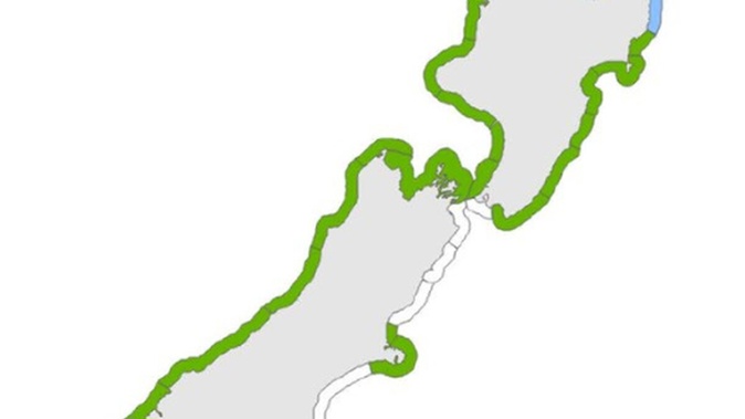
TSUNAMI WARNING issued following Kermadecs earthquake. People near coast from the BAY OF ISLANDS to WHANGAREI, from MATATA to TOLAGA BAY, and GREAT BARRIER ISLAND must MOVE IMMEDIATELY to nearest high ground, out of all tsunami evacuation zones, or as far inland as possible
— National Emergency Management Agency (@NZcivildefence) March 4, 2021
"The only link that we can say right now that they're around the same subduction zone interface - the Tonga-Kermadec Trench. Everything beyond that is speculation."
The trench is part of a subduction zone, that itself marks a convergent boundary between the Pacific and Australian tectonic plates, and stretches from the North Island of New Zealand northward for thousands of kilometres.
The subduction zone interface was where the Pacific plate dived, or subducted, beneath the Australian plate, as part of an ongoing geological scrum.
"So that's the main fault. But associated with that are all kinds of other minor faults that are in the area," he said.
"If you envisage a piece of wood bending, there's one big crack - and then there are lots of little cracks around it, and that's essentially what the other faults are."
Both of today's earthquake locations are known for having generated major quakes in the past.
The area along the east coast of the North Island and north of East Cape is one of the more seismically active regions of New Zealand, having seen 40 events larger than 5.0 in the past decade alone.
Some of the biggest quakes to have hit there include a 7.1 East Cape earthquake in 2016, a 7.2 quake in 1995, a 6.8 quake in 2014, and the 6.7 Gisborne Earthquake in 2007.
In some cases, aftershocks have continued for years.
The area around Raoul Island - the largest and northernmost of the main Kermadec Islands - similarly had a shaky history.
Some of the largest events recorded there included two in 2011 - a 7.6 quake and a 7.4 jolt that occurred several months apart.
Borrero said the fact today's events came within hours of each other would particularly be cause for investigation.
"Seismologists are gonna be scratching their heads for a while on this one."
It was too early to say whether the second quake might have come as a result of the fault being "loaded" with stress by the first, but Borrero said it could be a factor.
Stern said: "They're all part of the same subduction zone and the Pacific plate acts like a big stress guide, so you'd feel from one to other other.
"Some people have drawn these correlations in time where one earthquake can trigger another.
"It could be [stress loading] but we don't know. But it's starting to become an idea which has got some following among some of the geophysicists in the world."
To monitor offshore quakes, scientists rely on GeoNet's network of seismic instruments which are placed all over New Zealand, Chatham Islands, and Raoul Island.
Tsunami modelling utilises seismic and GPS data, along with data from a network of tide gauges to model tsunamis.
More information comes from DART buoys - international network of instruments deployed in the open ocean which measure wave heights and wave lengths, and are used to detect tsunamis in the open ocean.
A tsunami from the Kermadecs Arc area above New Zealand – called a "regional" tsunami – could offer one to three hours' warning for evacuation.
That was unlike New Zealand's most hazardous form of tsunami - a violent near-shore event that could leave people just minutes to evacuate.
Headline projections in an EQC-commissioned report estimated worst-case scenario impacts from a one-in-500 year event could include 33,000 fatalities, 27,000 injuries and $45 billion of property loss.
One recent simulation suggested tsunami waves - up to 12m high in places - could inundate the coastline within an hour if a "megathrust" earthquake struck here.
For earthquakes on the other side of the Pacific, a tsunami could take up to about 16 hours to reach New Zealand, depending on exactly where it was.
Take your Radio, Podcasts and Music with you