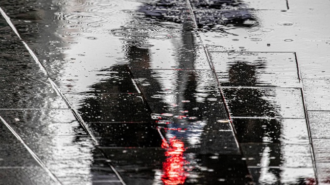
Parts of the North Island could be soaked with more than 100mm of rainfall when a low-pressure system rolls into New Zealand this week - and forecasters are also keeping close watch on a forming tropical cyclone.
A week of wild weather comes amid warnings that marine heatwave conditions currently enveloping New Zealand could intensify storms over a summer already being influenced by another La Nina.
MetService is forecasting a low to move onto the country from the Tasman Sea tomorrow and Tuesday, before moving slowly south-eastwards and deepening on Wednesday and Friday, bringing heavy rain and strong winds to many areas.
There is currently moderate confidence (a 40 per cent likelihood) that rainfall on Tuesday and Wednesday will meet "warning amounts" around the north and west of the North Island from Northland to the ranges of Gisborne, and also to Wellington and northern Marlborough and Tasman.
MetService issues severe weather warnings for rainfall when there is widespread risk of more than 50mm falling within a six-hour period, or 100mm within 24 hours.
There is a smaller chance (20 per cent) of "warning" rainfall levels hitting southern Marlborough and eastern Canterbury on Wednesday and early Thursday.
There is also low confidence of heavy rain in the west of the North Island from Northland to Taranaki, including Coromandel Peninsula, tomorrow.
At the same time, meteorologists are tracking an as-yet unnamed tropical cyclone system, that currently has a low chance of bringing gale-force winds to the Gisborne area on Wednesday and Thursday.
It is predicted to deepen and move south-east past New Caledonia on Tuesday, and then gradually make its way south.
MetService meteorologist Juliane Bergdolt said while both systems were separate, both were currently sitting in the same warm air mass.
"But the low-pressure system is actually heading straight for New Zealand, while the tropical cyclone is just heading to the north-east," she said.
"So, the main effect we're expecting from the tropical cyclone is just the severe gales in the Gisborne area."
Niwa forecaster Seth Carrier said, while a landfall of that system couldn't yet be ruled out, the probability of it directly affecting the country remained low.
"At this point, the models are in pretty good agreement that the most likely outcome for the tropical cyclone is that it misses the North Island, just to the north-east," he said.
"So that is a bit of good news. That being said, we are still four or five days away. If there will be effects from the TC itself, the north-east portion of the North Island would be at greatest risk."
Carrier said, at this point, the earlier low was "our number one concern".
"When you combine rainfall for all of Tuesday and Wednesday, I think Tuesday night and Wednesday morning could feature perhaps the heaviest rain of all," he said.
"In the North Island, we're looking at widespread amounts of probably 50mm to 75mm – and there could be some areas that see amounts above 100mm, and even 150mm in isolated pockets."
There was the potential for flooding in those hardest-hit areas, which could include Taranaki, Bay of Plenty, Marlborough and the Tasman region.
Fellow Niwa forecaster Ben Noll said warmed seas around New Zealand could have a clear influence on storms around the country over the coming months.
At a time when ocean conditions between the tropics and New Zealand were running warmer than usual, full-blown marine heatwave conditions had developed around large stretches of our coastline.
Around the western North Island, sea surface temperatures were predicted by MetOcean Solutions to have reached 4C above average, with plenty of abnormal warmth elsewhere.
While much of that heat could soon dissipate, a combination of factors, including a second La Nina event now unfolding, could make these conditions a more frequent occurrence this season.
"The persistent signal through December and into January is about as strong as you're going to see on a sub-seasonal forecasting scale," he said.
"We have marine heatwave conditions occurring in all coastal waters of New Zealand, and it's strongest in the North Island, especially around Auckland, Northland, Waikato and Coromandel.
"The chances of that continuing through the Christmas holidays, I think, is high at this point."
The anomalies could have consequences for the impact of systems stemming from the tropics.
"Usually when systems come down, they interact with mid-latitude disturbances, and that usually leads to them being sheared apart, and unable to maintain their tropical characteristics as they undergo this transition," he said.
"However, if they're tracking over unusually warm seas – like the conditions that are occurring over the Tasman Sea and around New Zealand right now – that can help maintain their structure."
Noll added that this risk could also apply to low-pressure systems coming up from the south of the country, and being energised on approach.
Niwa has forecast a "slightly elevated" risk of ex-tropical cyclones this season, with a chance of one to two sweeping within 550km of the country.
Each season - usually around late summer - at least one rolled into our region, packing gale-force winds and enough moisture to drive torrential rain.
More generally, Niwa's summer outlook picks temperatures to be above average across the entire country, with warm nights and "extended periods" of high humidity likely over the next three months.
While air pressure is likely to be higher than normal in the south and east of the South Island, low pressure could develop north of the country – particularly later in the season.
That is expected to be linked with more easterly winds, which in turn raise the odds of dry spells about the west of both islands.
Rainfall, meanwhile, is most likely to be near normal in the north and east of the North Island – and about equally likely to be near or below normal in all other regions.
Take your Radio, Podcasts and Music with you


