Slip, slop and slap is the key message for the day, as another scorching day is forecast for much of the country yet again.
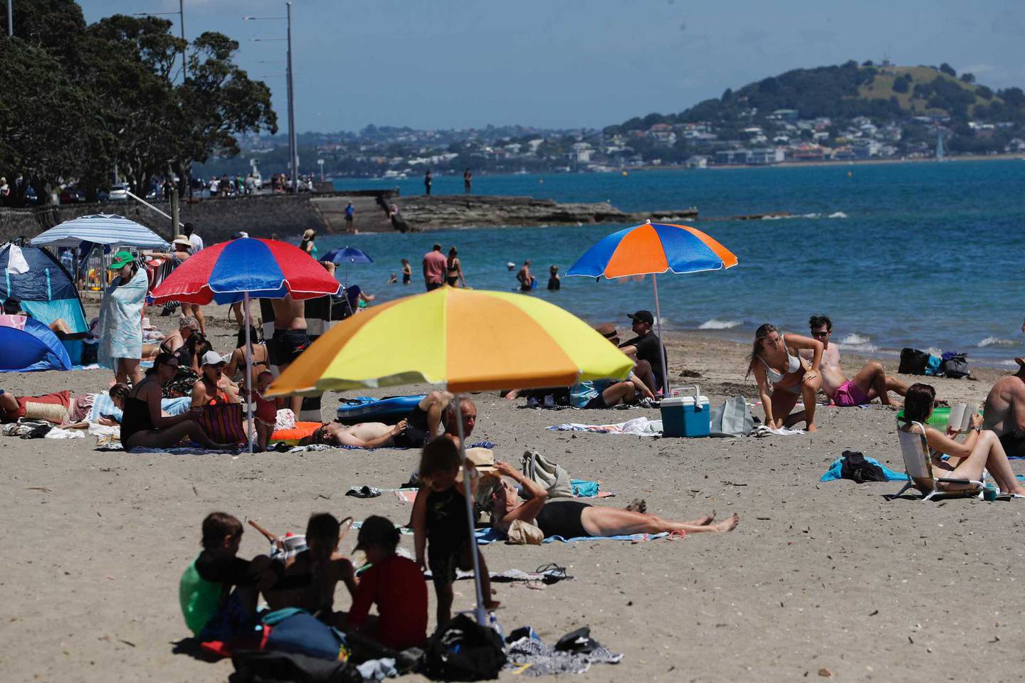
Aucklanders can look forward to another stunning day, with fine conditions and a temperature high of 27C on the cards.
An overnight low of 19C will ensure no blankets will be necessary come bedtime.
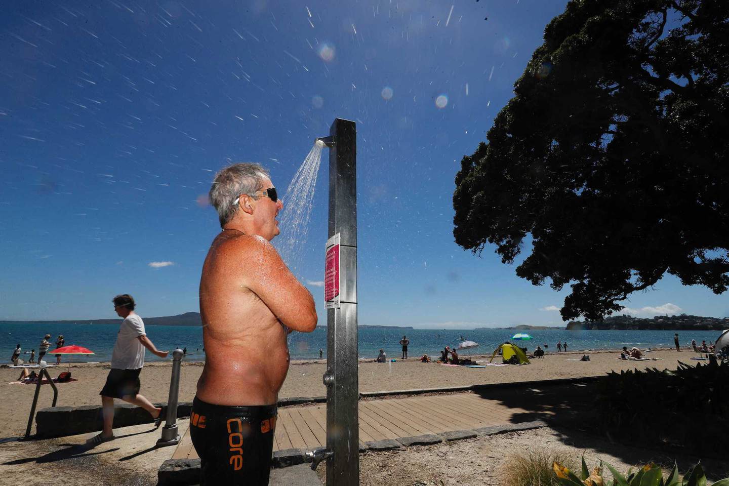
Another hot summer's day is forecast for many today. Photo / Dean Purcell
Northland to Kāpiti – including the Coromandel Peninsula, Bay of Plenty and the central high country – are all forecast to be fine and hot.
However, cloudy areas are also expected this morning and later tonight, MetService says.
Those holidaying in Gisborne will see some cloudy periods throughout the day, as well as some isolated showers. But a 26C high will make up for that.
In Hawke's Bay, Wairarapa and Wellington, it wil be mostly cloudy. But there will be some fine afternoon breaks before some patchy drizzle arrives tonight.
Wellington is set to get a high of 21C today and locals are reminded that some areas currently have a fire ban in place.
Yesterday saw several near-records broken as a result of hot temperatures around the country.
Slip, slop and slap: Another scorcher forecast today. Photo / Dean Purcell
The National Institute of Water and Atmospheric Research reported that Taupō reached a sizzling 33.2C yesterday – recorded as the equal-warmest January day since records began in 1950.
Taumarunui's 32.6C was the fourth-warmest temperature in the area since 1947.
Te Kūiti also recorded 32.6C yesterday - the second warmest January day since 1959 and Hamilton's 31.4C officially became the warmest January day in the city since 1940.
Further south, Marlborough, Canterbury, North Otago, Central Otago and Southern Lakes are all in for some fine weather this morning.
But scattered showers inland are forecast this afternoon.
Weather authorities say some showers will be heavy and there is also a possibility of thunderstorms about Canterbury High Country. Showers will then spread elsewhere by this evening.
People in Nelson and Buller to Fiordland north of Doubtful Sound will enjoy fine breaks today. However, there will be some isolated afternoon and evening showers about the ranges.
The rest of Fiordland, Southland, Clutha and Dunedin will be cloudy with a few showers in the mix; while the Chatham Islands is also expecting low cloud and the odd drizzle today.
Take your Radio, Podcasts and Music with you