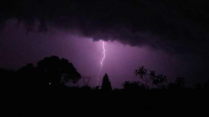
A low-pressure system spinning around in the Tasman Sea is going to bring more thunderstorms, lighting and severe wind gusts to the country from this afternoon after more than 14,000 lighting strikes were recorded yesterday.
MetService meteorologist Dan Corrigan said the places with the highest chance of being impacted by this weather will be Nelson, Marlborough, Buller, Waikato, King Country and Taranaki.
“These thunderstorms are moving quickly and a lot of them are joined up in lines and are able to feed into the thunderstorms next to each other,” said Corrigan.
“These fast-moving lines can bring really strong wind gusts in places where they directly move over.”
Corrigan said wind gusts could briefly reach speeds of up to 100km/h.
“That’s enough to cause some damage.”
He said damage such as what was seen in eastern Auckland last night is an “outside possibility”.
While most of the North Island was sunny this morning, Corrigan said the weather could change at a drop of a hat as the thunderstorms move closer to the country.
He said it was hard to pinpoint where exactly the thunderstorms would hit but said they would be localised and described each one to be the size of a town.
Corrigan said the storms are spread out throughout the weather system and that the centre of the system is expected to be just off Fiordland tomorrow morning.
- 'People are heartbroken': Tornado hits Auckland, resident describes 'scary scene'
- Tornado damage stretches 4km in East Auckland
He warned that the “gnarliest” weather was not only just in the centre of the system.
“The low-pressure system is a big broad system larger than New Zealand.”
Corrigan is urging people to keep a good eye on rain radar.
There are orange heavy rain warnings in place for Westland until 11pm tomorrow, Tasman District northwest of Motueka until 6pm tonight, The Richmond and Bryant Ranges, including the Rai Valley until 6pm tonight and for Taranaki until 3pm today.
/cloudfront-ap-southeast-2.images.arcpublishing.com/nzme/MDG5IDL3SFHATFSSA2UQKUAEQE.jpg) Fire and Emergency crews assess the damage to a house in Ballybay Rd, East Tamaki after a tornado hit the area on April 9. Photo / Hayden Woodward
Fire and Emergency crews assess the damage to a house in Ballybay Rd, East Tamaki after a tornado hit the area on April 9. Photo / Hayden Woodward
Last night a tornado struck parts of eastern suburbs in Auckland around 9.30pm and caused roofs to lift of homes and toppled trees.
Manpreet Braar, who lives on Chapel Rd in East Tamaki, said it was devastating to see the damage this morning.
“It’s a scary scene here in the neighbourhood. People are heartbroken seeing the condition of their houses and roofs. You can sense the fear factor upon having a look at the damage.”
Authorities received more than 30 calls about damage from the tornado.
One Dannemora man said the twister “ripped one of our wooden fences out of the ground, ripped downpipes and guttering off our house and picked up a BBQ and threw it across our section”.
Most of the calls for help were due to roofs lifting or being damaged, trees blown on to houses, and trees falling on powerlines, Fire and Emergency said shortly before 11pm.
Fire and Emergency assistant area commander Dave McKeown said no injuries had been reported to authorities.
Take your Radio, Podcasts and Music with you


