The bad weather is rolling into the new week with rain and showers forecast for most through to Friday, and thunderstorms for some areas.
A fast-moving front is expected to hit the west coast of both the North and South Islands this afternoon, bringing rain and showers.
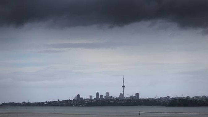
In Auckland showers are expected to turn to heavy rain by this afternoon and northwesterly gales will strengthen, said MetService.
The same goes for central regions of the North Island with scattered showers turning to rain in the morning before becoming heavy downpours in the afternoon for areas from Waikato to Wellington, including the Bay of Plenty and central high country.
In the South Island, areas from Buller to Fiordland are expected to get thunder and heavy downpours this afternoon while scattered showers are forecast for most other areas of the island.
Otago and Southland could see some heavy rain this afternoon which will clear this evening.
Showers and heavy rain is forecast for much of the North Island on Tuesday with possibly heavy and thundery downpours forecast for the west and north areas of the South Island.
On Wednesday rain is expected to clear by the morning in the south and east regions of the North Island, while showers across other areas of the island will continue.
Heavy downpours also continue for the west of the South Island but will begin to ease on Thursday.
By Friday showers across most of the country will begin to ease.
The weekend’s wild weather bought loud thunder, heavy downpours, a waterspout and over 7000 lighting strikes.
A waterspout was spotted moving off Auckland’s coastline, after an afternoon of thunderstorms across the North Island on Sunday.
A Birkenhead Point resident captured the waterspout at about 4.20pm, looking back across at Takapuna.
The waterspout was about 500m off the coast when a Castor Bay resident also managed to capture footage of it.
“The kids were worried, but it basically tracked down the middle of the harbour.”
Metservice forecaster Tuporo Marsters said waterspouts were similar to tornados, but occurred over water.
“They are an intense vortex column of air spinning around and are associated with thunderstorm clouds and very unstable conditions.
“The water gets disturbed so you get this spinning rotation, so anything in contact with it does get sucked up a little bit.”
He also said there had been more than 7000 lightning strikes reported across the North Island since 10am yesterday.
Take your Radio, Podcasts and Music with you