An autumn storm is approaching, and with it comes a dramatic drop in temperatures, heavy rain, gales, big waves and snow.
MetService meteorologist Mmathapelo Makgabutlane said the storm was coming with a cold front from the west and would make landfall on Sunday evening.
It would then spread up the country on Monday and the cooler temperatures would linger into the week. MetService may issue severe weather warnings closer to the time, Makgabutlane said.
Auckland had persistent rain and strong northwesterlies forecast for Monday with a top temperature of 24C. Showers should clear through Tuesday.
The full extent of the autumn storm would be felt in the South Island, Makgabutlane said.
The West Coast would feel the brunt of the wet and windy weather, with rain also likely to spread into the Canterbury High Country and Otago before moving up to Buller and Tasman.
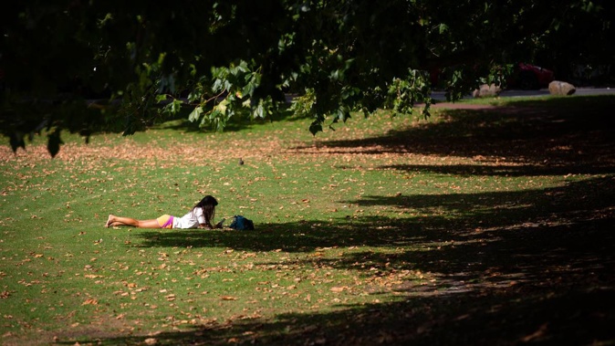
In the meantime, in Auckland, Friday and Saturday were forecast to reach 23C with mainly fine conditions. Cloud could linger, and there was a chance of a shower on Saturday.
The city’s weather was forecast to deteriorate through Sunday when rain could develop early morning and wind would become strong in the afternoon and evening.
Other parts of the country would still see sweltering temperatures over the first weekend of autumn, with MetService forecasting a 31C for Blenheim on Saturday.
Makgabutlane said there was a small chance rainfall rates in Auckland and elsewhere in the North Island could reach warning amounts on Monday.
“And the other thing to mention with the cold front and just to be aware of, it looks like it brings quite a temperature change,” she said.
“Into Tuesday, we’re looking at quite the dip, especially in the deep south. [For example,] Gore is expecting 25C today [Thursday], fairly warm for them, and after that front passes through on Tuesday, it will only get to 12C.
“That will be a trend into the latter part of Tuesday and into the week. It looks like a similar story in places like Queenstown too,” she said.
“We definitely recommend people keep up to date with the latest watches or warnings on MetService’s website,” she said.
MetService expected snowfall on the top of the Southern Alps early Monday morning.
The National Institute of Water and Atmospheric Research (Niwa) corroborated the forecast, saying there would be an unsettled start to autumn.
Weather Watch said the storm would prove “the first autumn blast” and forecast the strongest winds for south of Taranaki and Hawke’s Bay.
Raphael Franks is an Auckland-based reporter who covers breaking news. He joined the Herald as a Te Rito cadet in 2022.
Take your Radio, Podcasts and Music with you