The earthquake that shook Taupō residents on November 30 has been upgraded to a 5.7 magnitude, while producing almost 700 aftershocks, a tsunami and more than 30 landslides, GeoNet said today.
The magnitude increase was due to the “greater accuracy we have been able to bring to the earthquake analysis since the earthquake happened.”
“We have located over 680 aftershocks (as of this story being published), with the most recent felt aftershock being a M3.4 on December 12. The aftershock sequence (size of events and numbers) is as we would have expected for a mainshock of M5.7,” GeoNet said in a statement.
More than 30 landslides were triggered by the 5.7 earthquake.
“This is not unexpected, given the severity of the shaking, and the timing of the earthquake, which followed several weeks of particularly wet weather. Landslides were identified through a combination of liaison with Taupō District Council, public reports submitted to GeoNet via our online survey, field mapping by GNS staff, and an analysis of satellite images acquired in the days following the earthquake.
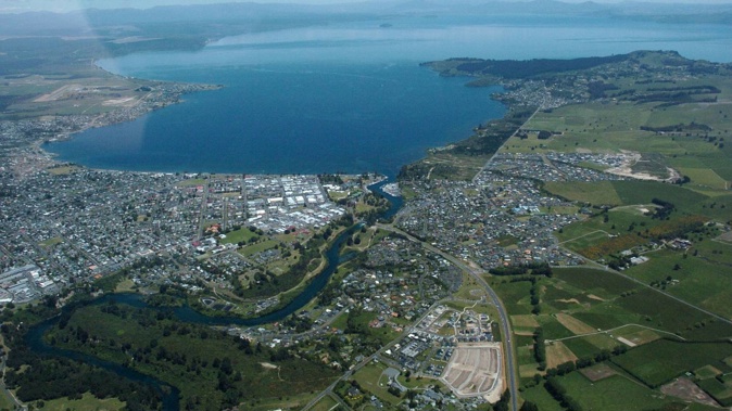
“Most landslides were small slips on steep cut slopes close to roads, particularly in northern regions, close to Acacia Bay, while larger rockfalls perhaps up to the size of a bus, were identified closer to the epicentre in the vicinity of Hatepe.
“Most were generated on the White Cliffs along the eastern lake shore north of Hatepe, just 7km from the earthquake epicentre,” GeoNet said.
A several-hundred-metre-long section of the cliffs collapsed into the lake generating a large white plume of sediment that could still be seen stretching north along the coastline several days after the earthquake.
“Further onshore, a number of larger rockfalls in the vicinity of Hatepe appear to have occurred from cliffs within river valleys close to the lake. These are areas that we know are prone to long-term erosion, and earthquake-induced rockfalls, though not incredibly common, can be considered a normal landscape process.”
Aside from the rockfalls on the White Cliffs, the most notable single earthquake-triggered land movement was located over 15km north of the epicentre, at Wharewaka Point.
“It is possible an underwater landslide occurred at the location of the popular swimming beach, causing 170m of the shoreline to subside into the lake, with a maximum retreat of up to 20m. Whilst still under investigation it is possible that the collapse of the beach into the lake drew water in behind it, generating the local tsunami that washed up onto the picnic area behind it,” GeoNet said.
Underwater landslides are known to be some of the largest landslides on earth and can trigger tsunamis, however, there is currently no evidence to suggest the Wharewaka Point landslide generated the larger lake-wide tsunami observed following this earthquake.
GeoNet said the recent earthquake activity was consistent with minor volcanic unrest and did not warrant a move to a higher volcanic alert level.
“Taupō has had 18 episodes of unrest in the past 150 years, lasting for months to years. None of them led to an eruption. Based on this history, the current unrest period could continue for many weeks to months, at varying rates or intensities.”
Taupō Volcanic Alert Level is currently at one.
Take your Radio, Podcasts and Music with you


