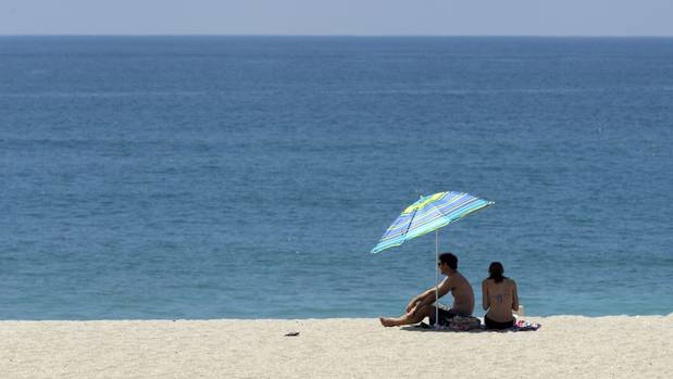
Summer-like conditions are predicted to persist well past the end of the season in already-parched parts of New Zealand - with some pockets now baking in severe drought.
Niwa's latest outlook for the next three months picked more long, hot dry spells around the country - and potentially less rainfall in those northern and eastern places feeling most of the heat.
That pattern was being driven by an oddball La Nina climate system, which traditionally would have brought plenty of north-easterly storms to typically dry regions.
So-called "hotspots" - or those places with severely to extremely drier than normal soil conditions - had now developed across much of Northland, parts of Auckland, northern Waikato, and a small part of the East Cape.
Meteorologists were also keeping a close eye on a hotspot in eastern Wairarapa that had spread across eastern Tararua District and coastal Hawke's Bay.
Source / Niwa
The worst conditions could be seen in the top half of the Far North, which had officially reached meteorological drought status.
Although some rain was expected later this week, it was likely those hotspot areas - especially those in the east - would only keep expanding.
Fire danger was currently running high in the tip of the North Island, and around Dargaville, Whangarei and parts of Eastland, Porangahau, Tararua and Wairarapa.
In the South Island, there was also a high risk around McKenzie Country, and large parts of coastal Marlborough and central and northern Otago.
Over the next three months, Niwa predicted above average temperatures in the north - and near to above average temperatures elsewhere.
"We will have some warm conditions that will probably persist into March - and maybe April as well," Niwa forecaster Ben Noll said.
"It's not going to be non-stop summer right through those months - but it's likely we'll have spells that are summer-like, overall.
"What we can expect to see is ridges of high pressure, arcing over New Zealand for maybe a week or so at a time, before they're interrupted by features like the one we're expecting from the Tasman Sea [this week].
"But the northern and eastern parts of the North Island, which are the driest areas relative to normal right now, stand the lowest chance of feeling the full effect of those features."
Noll noted that this dry outlook followed what was a similarly sweltering summer last year, resulting in Auckland's worst drought in 25 years.
"Some locations in Auckland also had their driest year on record in 2020. To have this stacked on top of it is kind of a tough combination."
Auckland's dam levels still hadn't properly recovered, and as at this week, were running at 61 per cent capacity - and more than 20 per cent below the historical average for this time of year.
With Auckland needing to limit its water use to 511 million litres a day, restrictions were in place across the city that prohibited the use of hoses not fitted with trigger nozzles.
However, those rules weren't expected to tighten.
"At this stage, we are confident that our new water sources, coupled with Aucklanders excellent water savings, will see us through summer and autumn without the need for more severe water restrictions," a Watercare spokesperson said.
oll said the La Nina influencing the picture behind the scenes would likely prove a stand-out in the record books, given its dramatically "non-traditional" behaviour.
Most La Nina-flavoured summers typically came with widespread warmth, but also north-easterly storms, rain about the north and east, dryness about the south and southwest - which was much different to what New Zealand had seen this summer.
That could largely be explained by two factors.
One was the fact the coolest ocean temperatures in the Pacific under this La Nina were found much further west than usual, meaning much of its traditional tropical activity had been centred elsewhere.
The other was warmer-than-average temperatures in the Indian Ocean, which, when combined with the unusual La Nina, delivered a different climate set-up for New Zealand.
Current models showed the La Nina was likely to linger for several months to come, before largely dropping away by winter.
Meanwhile, one classic effect of La Nina - warmer sea temperatures - had at least partly played out, with pockets of ocean around the north of the North Island reaching "marine heatwave" conditions last month.
Over January, coastal waters around New Zealand were ranging between 0.3C to 0.7C above average - but it remained to be seen how long that trend would continue.
Noll said the picture was much different to the summers of 2017-18 and 2018-19, where back-to-back marine heatwaves pushed sea temperatures several degrees above average.
"For that to happen, you need prolonged north to northwesterly flows - and we've just had too much variability to allow that."
While there was no immediate threat of an ex-tropical cyclone affecting New Zealand, Noll said there was potential for activity later in the month.
Each year, an average one of these systems swept within 550km of the country, bringing damaging winds and heavy rainfall.
So far, the cyclone season had been running in line with the predicted range of eight to 10 systems in the south-west Pacific, with four recorded so far.
"Of course, the season extends through April, so we continue to watch whether there'll be anything that can actually make landfall here in New Zealand."
Last month marked four years since New Zealand last saw a month with below-average temperatures - a trend driven by climate change.
Take your Radio, Podcasts and Music with you