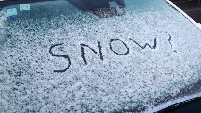
A heavy snow watch has been issued for northern parts of Whanganui as a southerly front brings stormy and cold conditions to the region.
MetService has issued a heavy snow watch for Taihape and northern parts of the Whanganui and Manawatū regions.
The watch is in place for a 10-hour period between 10am and 9pm on Wednesday.
Snow is forecasted to fall at as low an altitude of 500 metres this evening, with the potential for snowfall to be heavy above 800m.
Above this altitude, accumulations may approach warning criteria, especially in localised snow drifts.
A road snowfall warning has also been issued for State Highway 1, Desert Road between 11am on Wednesday and 6am on Thursday.
Eight to 12 centimetres of snow is forecasted to settle on the road at altitudes above 800m between 11am and 9pm on Wednesday.
Lighter snow showers were expected between 9pm on Wednesday and 6am on Thursday, where 1-2cm of snow may land on the road.
Whanganui District Council advised people travelling in the areas under the watch to take care and drive to the conditions.
MetService meteorologist Kathryn Hodge said the snowy conditions would not make it to Whanganui City.
“It’s not necessarily going to affect a lot of towns in the Whanganui region,” she said.
Temperature-wise, Whanganui City was expected to drop to 4C overnight, whereas inland temperatures could get as cold as between -2 and -4C.
The raft of snowy conditions had been caused by a southerly front passing over the country.
“Behind that is a lot of cold, showery air, and in those showers, we’re getting some thunderstorm activity as well as deep showers, which are bringing snow to lots of areas of the country,” Hodge said.
While the front hadn’t brought snow to Whanganui City, it had instead brought thunderstorms, as well as near gale-force winds as fast as 89km/h and 24 millimetres of rainfall over Wednesday, all of which fell in the morning.
Hodge said as the front continued to move past the northeast of the country, conditions would improve across the rest of the week, with a ridge of high pressure bringing more settled weather for Friday.
However, a similar front seemed to be heading towards the North Island over the weekend, but this front isn’t expected to bring conditions as severe as those experienced over Wednesday.
Finn Williams is a multimedia journalist for the Whanganui Chronicle. He joined the Chronicle in early 2022 and regularly covers stories about business, events and emergencies. He also enjoys writing opinion columns on whatever interests him.
Take your Radio, Podcasts and Music with you
Get the iHeart App
Get more of the radio, music and podcasts you love with the FREE iHeart app. Scan the QR code to download now.

Download from the app stores
Stream unlimited music, thousands of radio stations and podcasts all in one app. iHeart is easy to use and all FREE


