There's a possibility of rain for the upper North Island this weekend – but several times what's forecast is needed to soothe drought-baked soils.
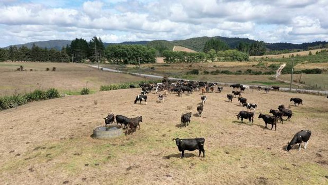
Vast areas of the island, from Taranaki across to the East Coast and upward, have dried out to the point where soil moisture deficit levels are off the scale – or effectively missing the equivalent of at least one month's rainfall.
The worst-hit places remain Auckland and Northland, where drought has been formally declared and deficits in some areas have reached as much as 90mm, or equivalent to two months' lost rainfall.
/arc-anglerfish-syd-prod-nzme.s3.amazonaws.com/public/AM3XLFGGE5D37ERE5UAPE26LFI.jpg)
Source / Niwa
Niwa meteorologist Ben Noll said ex-tropical cyclone Uesi brought some small relief to some dry regions over the weekend, notably the top of the South Island, with Nelson receiving about 25mm, and in Taranaki.
"We saw some patches of rainfall randomly scattered about the rest of the North Island; unfortunately, very few of these have these have been about the upper North Island where it's needed most," he said.
"I know some folks in the Waitakeres were rejoicing with their 10 to 15 rain drops."
But there was hope of another front moving in from the Tasman Sea on Friday, and visiting the upper north around Saturday or Saturday night.
"We have a blocking high to the east which might prevent it from shifting away quickly, which means we might get a bit of a slow mover that will drag moisture across the region."
At this stage, the system looked to bring light to moderate rain – which was a better prospect than a short burst of heavy rain falling on soils too dry to absorb it fast enough, and instead resulting in surface flooding.
"This [front] could be a good step in the right direction. But what we really need is some moderate intensity rainfall happening about three times over the course of the next few weeks."
While another high pressure system was forecast to slide in over the north next week, Noll said more opportunities for rain were being created by a shift in the wider climate picture.
A warm pool of water in the Western Pacific had essentially "grabbed hold of the steering wheel", he said, setting up more potential for rain and moisture reaching the Tasman Sea over the next few months.
Until now, a large and persistent blocking high to the northwest of the North Island had held sway over weather in the north - driving hot, dry and settled conditions that this month tipped already rain-starved regions into full-blown meteorological drought.
"That big high hasn't been there lately and overall, and our models suggest that the driver is changing."
Take your Radio, Podcasts and Music with you