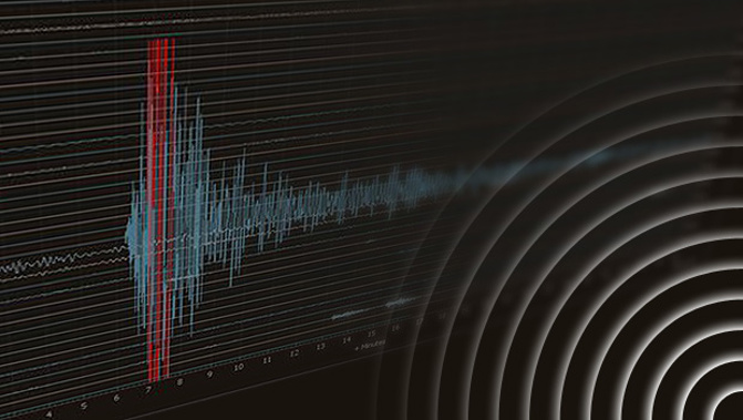
Today's 6.2 quake was likely the effect of contorting deep within one of the two tectonic plates New Zealand straddles.
GeoNet recorded the quake about 25km south-west of Taumarunui – but what mattered more was its 207km depth.
Victoria University's Professor John Townend suspected the earthquake was produced by bending within the Pacific Plate, which is constantly sliding and grinding against the Australian plate.
As the Pacific plate effectively dived beneath the North Island, the further west in the island, the deeper the plate was.
But quakes that struck at the depth today's did still sent their seismic waves propagating to shallower parts of the great slab – which meant the quake would have been felt more strongly in Hawke's Bay and Wellington.
Townend described the Pacific plate as cold and rigid – and acted as a "funnel" that sent seismic waves across a wider area when a quake happened.
He said the quake would have either resulting from the two plates rubbing together – or the Pacific plate contorting, which was the likelier scenario.
Such strong deep quakes happened "intermittently" in New Zealand – although countless more would occur at that depth that were too small to be felt.
The boundary of the Pacific and the Australian plates stretches from the northeast of the North Island down to the west coast at the bottom of the South Island.
The boundary snakes along the North Island's East Coast, through the centre of the country where today's quake hit, on past Wellington and over the Cook Strait to Canterbury, and then switches to the South Island's west coast and trails off to the west of Stewart Island.
This is New Zealand's shaky position on the wider Pacific Ring of Fire - an almost continuous belt of volcanoes and earthquakes around the rim of the Pacific Ocean.
It's defined by the 103 million-square kilometre Pacific Plate smashing together with other vast tectonic plates that form parts of the geological jigsaw puzzle that make up Earth's lithosphere - its rigid, outermost shell that combines the crust and the upper mantle.
At the southern end of the South Island, the Australian Plate dives down, or subducts, below the Pacific Plate while in the North Island, the opposite situation occurs with the Pacific Plate being pushed under by the Australian Plate.
In between, through most of the South Island, the two plates grind past each other along the Alpine Fault that runs along the mountainous spine of the island.
Ultimately, this motion creates more than 15,000 quakes large enough to be recorded every year, of which between 100 and 150 are big enough to be felt by people.
As the two plates push together at a steady rate, the rocks along the boundary become more and more stressed until eventually something has to give - and an earthquake occurs along a fault somewhere in the plate boundary zone.
Scientists often compare this to a bending stick: as it becomes more deformed, it breaks and each of the pieces spring back in a relatively straight but new position from each other.
Take your Radio, Podcasts and Music with you
Get the iHeart App
Get more of the radio, music and podcasts you love with the FREE iHeart app. Scan the QR code to download now.

Download from the app stores
Stream unlimited music, thousands of radio stations and podcasts all in one app. iHeart is easy to use and all FREE


