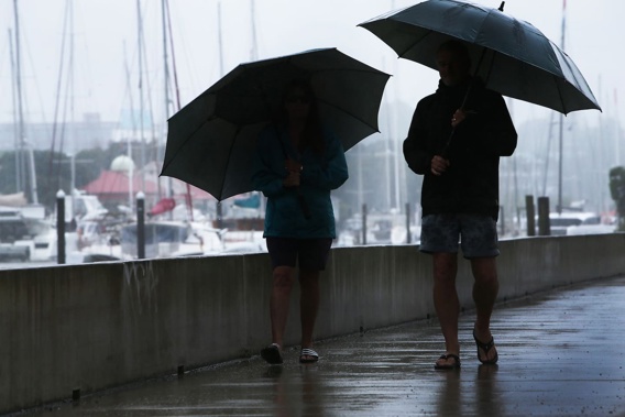
Thunderstorms and showers are expected across New Zealand with gusts of up to 90km/h in some places.
The wet weather from Friday is expected to stick around for much of the weekend and could turn heavier, with most of the North Island at risk of thunderstorms in the morning, including Auckland, Waikato, Taranaki and Bay of Plenty.
Heavy rain up to 25mm/h is predicted to hit Auckland alongside 90km/h gusts.
The risk of thunderstorms and strong gusts stays around the Auckland area into the afternoon and evening, but the rain is expected to ease to a maximum of 20mm/h.
MetService said an unstable air mass will move on to the country and bring with it a moderate risk of thunderstorms to Northland, Taranaki, the Tasman District and northern Buller, which could receive hail of up to 15mm in diameter.
Eastern parts of the North Island and much of the South Island are at a low risk of thunderstorms in the morning but are predicted to be hit by showers.
 Much of the North Island is at moderate risk of thunderstorms on Saturday morning. Photo / MetService
The risk of thunderstorms increases to moderate for more northern parts of the South Island, with hail potentially reaching 15mm in diameter.
The heavy rain watch should lift this morning for the Bay of Plenty east of Ōpōtiki, but North Otago and Dunedin are under a heavy rain watch from 4am to 7pm.
 Thunderstorms are forecast to affect much of the North Island throughout the day and into the evening on Saturday. Photo / MetService
MetService predicts the wet weather will linger into Sunday and the North Island can expect scattered rain or showers, some of which will possibly be heavy.
Heavy rain is forecast for the South Island at the start of Sunday, but MetService said this should clear later in the day.
Isolated showers are then predicted for the west of the South Island in what is otherwise forecast to be a mainly fine Sunday.
Take your Radio, Podcasts and Music with you


