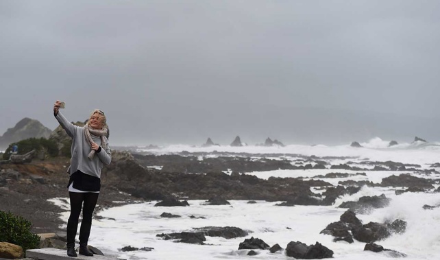
Another low will be hitting New Zealand, with the whole country expected to be drenched on Sunday.
The low will kick off on the West Coast, before travelling east on Saturday, then moving north on Sunday. It follows a "weather bomb" last week that was damaging in many parts of the country.
But those in dry parts of Bay of Plenty, Gisborne, Hawke's Bay and Wairarapa are being told to make the most of the substantial rain coming, as there may not be any more in the upper North Island for the remainder of January.
Heavier rains are expected in the driest parts of Northland, Auckland, Coromandel Peninsula and Waikato on Sunday as well.
It's expected to fine up on Monday, just in time for Wellington residents to enjoy Anniversary Day.
The Otago Regional Council says it's keeping an eye on river levels in light of a severe weather watch issued by Metservice.
Heavy rain is expected from Saturday night to Sunday morning in North Otago, Dunedin and in Clutha district.
Although most of the streams and rivers in the region are currently receding after the rainfall of the last few days, the additional rainfall predicted is likely to see them rise again. People are advised to keep up to date with the latest weather forecast and river levels.
Take your Radio, Podcasts and Music with you