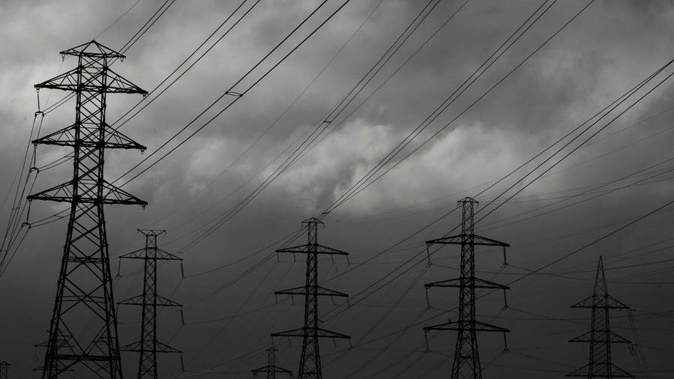
New Zealanders have been warned about the likelihood of thunderstorms hitting the city this afternoon and tomorrow - along with the possibility of heavy rain.
Metservice says it's possible Auckland alone could receive falls of up to 40mm of rain an hour.
MetService has issued a number of watches and warnings as an intense low pressure system passes over New Zealand on Tuesday.
"Tuesday looks to be a stormy one for a lot of the country with heavy rain and strong winds affecting many areas," warns Metservice meteorologist Lewis Ferris.
"We quickly move into a cooler southwest flow and it's not long before the next rain band whips up western areas of the South Island on Thursday."
Metservice advised city commuters to check the its rain radar before leaving work today.
MetService meteorologist Mmathapelo Makgabutlane earlier said the frontal system was due to make landfall on the South Island's West Coast tomorrow, bringing with it heavy rain and gale-force winds.
Monday's emojicast:
— NIWA Weather (@NiwaWeather) December 15, 2019
☁️
☁️
🌧🌧
🌧🌧🌧🌧
🌧🌧🌧☁️
☁️🌧🌧
🌧🌧
🌧
🌧🌧
🌧🌧
🌧🌧☁️ 🌤
🌧🌧
🌧🌧🌧
🌧🌧☁️
☁️
But even before then showers and rain were forecast for most western parts of the country Monday thanks to a warm and humid northerly airmass.
Auckland would see cloudy periods and a few showers to start with but becoming possibly heavy and thundery in the afternoon and reaching a high of 23C.
There was a low risk of thunderstorms for much of the central and upper North Island and the far north of the South Island on Monday morning.
This increased to moderate by late morning from Northland, Auckland, Coromandel Peninsula and Bay of Plenty down to northern Taihape and Taranaki, including the ranges of Gisborne and Hawke's Bay.
These thunderstorms could bring downpours of up to 25mm/h.
With another system set to arrive at the end of the week, the run into Christmas is starting to look a little unsettled, although long-range forecasts at this stage are not predicting anything too major.
Get ready for an active week of weather!
— NIWA Weather (@NiwaWeather) December 15, 2019
An approaching low will bring rain 🌧️, strong winds 🌬️ and ⛈️ to start the week. The first band of bad weather is set to arrive Monday evening for western parts of the South Island before spreading across the country on Tuesday pic.twitter.com/53Ee2b95ha
Tomorrow the severe weather is set to intensify, starting around Buller and Nelson before making its way up the entire country through the day.
The heaviest rain was forecast in western and central areas. Gale-force northerlies were also predicted in places.
Makgabutlane said at this stage there were no severe weather warnings in place but this would likely change through Monday.
On Wednesday the front would be followed by widespread showers and cooler southwesterly gales.
The system would mostly have moved away from New Zealand by the end of Wednesday, but another front was likely to arrive by Thursday and Friday.
Take your Radio, Podcasts and Music with you