Batten down the hatches - heavy rain and thunderstorms are set to hit parts of the North Island today and tomorrow.
A front is slowly moving over the North Island today bringing showers turning to heavy rain later this afternoon and evening.
As of 1pm, MetService is warning severe thunderstorms have been detected near Tirau, Putāruru, the Mamaku Plateau and Okoroire this afternoon.
The thunderstorms are expected to be accompanied by very heavy rain and damaging wind gusts around 1.15pm.
As well as severe thunderstorm warnings in place for Waikato and the Bay of Plenty, there are also watches in place for Northland, Auckland, Waitomo, Rotorua, Taumarunui, Taupō, Taranaki and Taihape.
Rain is also on the cards with Northland expected to get heavy rain, thunderstorms and isolated downpours in the north and east of Northland with 60mm to 100mm of rain expected from 2pm today until 5am tomorrow.
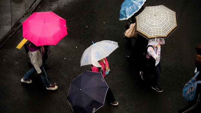
/cloudfront-ap-southeast-2.images.arcpublishing.com/nzme/3GJKRZKNXJVFV343OLNG6X6H3Q.jpg?width=633&height=758&mode=max) There are severe thunderstorm watches in place for parts of the North Island. Photo / MetService Twitter
There are severe thunderstorm watches in place for parts of the North Island. Photo / MetService Twitter
Taranaki has a heavy rain watch in place until 6am Wednesday with 100 to 150mm of rain expected about the mountain and 60 to 90mm of rain elsewhere with the rain and thunderstorms building this afternoon.
Horowhenua and Wellington are also being warned that heavy rain could hit from 6pm tonight with Wellington expected to be wet until 6am Thursday.
MetService is warning some of these heavy downpours in Auckland, Waikato, Northland, Waitomo, Taumarunui, Taupō, Taranaki and Taihape could see 25mm to 40mm of rain falling per hour. There is a risk of surface and flash flooding particularly around low-lying areas such as streams, rivers or narrow valleys, which can make driving in these conditions dangerous.
MetService shift meteorologist Dan Corrigan said it was going to be wet for most places in the North Island today and tomorrow.
Hamilton was the wettest place this morning collecting 36mm of rain between 5am and 7am and thunderstorms were at 10am rumbling over the region.
Emergency services had to rescue a driver from a vehicle after reports of a car getting stuck in surface flooding on Delamare Rd in Hamilton this morning.
Video footage has also emerged of cars having to drive on the grass to avoid flooding on Ellery Rd in Ngāruawāhia.
Meanwhile the South Island remains relatively dry with a few showers on the West Coast and some rain in Nelson and Marlborough later in the day.
"The real story for the weather is what is going on in the North Island."
The slow-moving front bringing the wet weather to the North Island will continue hovering on Wednesday before easing on Thursday.
"There is still going to be a few showers around going into Friday and a southerly change moves up the country," Corrigan said.
"It's a wet lead-up to the Easter weekend."
While it was still quite far out to give an accurate picture of the weather for Easter, early signs were there would be finer more settled weather by Easter Sunday.
Take your Radio, Podcasts and Music with you