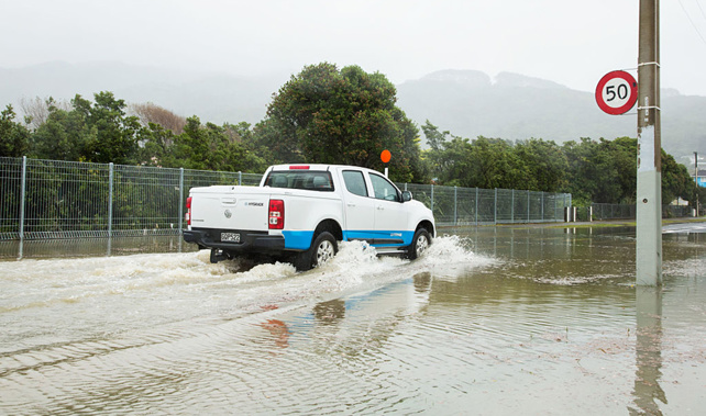
Gale force winds and bands of heavy rain are expected to buffet the country this week bringing possible surface flooding and damage to trees and powerlines.
A front moving up from the South Island tomorrow would bring a spell of strong winds and heavy rain with it.
MetService said from Wednesday a strong disturbed westerly flow would affect the country bringing the foul weather.
It was a similar situation to last weekend, MetService meteorologist Angus Hines said.
"A number of severe weather watches and warnings have been issued this morning to reflect the weather that is coming in the next couple of days."
A front would sweep east across the North Island early in the morning on Wednesday.
There was moderate confidence, a 40 per cent chance, of heavy rain from Kapiti northwards, and moderate confidence that northwest gales would be severe early morning from Wellington to the central North Island high country and the ranges of Gisborne and the eastern Bay of Plenty.
On Thursday another front was expected to sweep east on to the country.
There was a high confidence, 60 per cent chance, in heavy rain in Westland and Fiordland and a moderate confidence in the west from Taranaki southwards.
On Friday a strong westerly flow affected the North Island and there was moderate confidence in severe westerly gales there.
A heavy rain warning was in place for the Canterbury High Country until 8pm tomorrow, and for Westland until 6pm tomorrow.
A warning was also in place for Fiordland and the headwaters of Otago rivers and lakes until early afternoon on Tuesday.
Streams and rivers could rise rapidly and surface flooding a slips were possible in the rain, Hines said.
A strong wind warning was in place for Wellington and Marlborough to 11pm Tuesday and in place for Canterbury High Country until 5pm Tuesday.
That wind could be hazardous to motorcycles and high-sided vehicles and damage to trees and powerlines was possible, Hines said.
Take your Radio, Podcasts and Music with you


