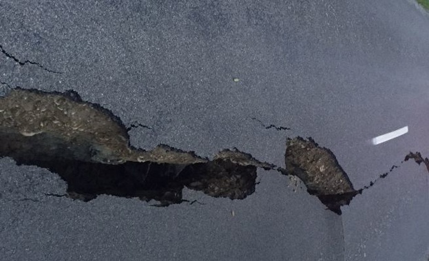
We're getting a better idea of how the earthquake has changed the country.
GNS says the east coast of the lower North Island has shifted west by up to five centimetres.
Meanwhile, the Wellington and Kapiti regions have been shunted up to six centimetres north.
The north-east tip of the South Island has moved by more than two metres and lifted almost a metre.
Cape Campbell is now two metres closer to the North Island than it was before.
Kaikoura has moved a metre and lifted 70-centimetres, and Hanmer Springs has jumped half a metre east.
Christchurch and Banks Peninsula are now about two centimetres further south than where they were before Monday's earthquake.
Some parts of the west coast of the South Island have shifted east by up to 10-centimetres.
But the top of the North Island, and bottom of the South Island, have moved mere millimetres.
GNS scientists used global positioning systems to reveal the shifts - and they say the results are astonishing.
All this movement happened in just seconds.
Take your Radio, Podcasts and Music with you