It's going to be grim weather for most of the country this weekend as persistent rain and strong winds settle in.
A low-pressure system and an associated front moving across the Tasman Sea is bringing with it unsettled weather to large parts of the North Island and bits of the South.
Auckland, Coromandel Peninsula, Bay of Plenty, Dunedin, North Otago and Westland have been warned of severe weather and those regions have been placed under a watch or warning.
"Unfortunately for many places it's going to be a fairly wet weekend. There's not many areas that will escape the rain," MetService meteorologist Peter Little said this morning.
Auckland is expected to again bear the brunt of the winds, with gale-force warnings in place with the expectation the winds could be damaging.
Already this morning gusts had reached 83km/h in the Hauraki Gulf, and Little said the winds were slowly picking up.
This morning a gust on a hill at Kaeo, in Northland, had reached 113km/h, and another gust had registered 98km/h in Tutukaka harbour.
MetService has described the winds as a significant event, although it's not expected to be as devastating as the April 10 storm which plunged much of Auckland into chaos due to downed lines and trees and left hundreds of thousands of residents without electricity.
Little said this weekend's winds were unlikely to rival the ones experienced earlier in the month, because they were coming in a "completely different direction".
Then, the gusts were in short, strong bursts but this weekend they would be more notable for their persistence, rather than strength, and particularly north of Auckland.
Heavy rain is possible for a swathe of the South Island from Southland up to Nelson, and for Auckland, Waikato and the Bay of Plenty.
The Coromandel and western Bay of Plenty was expected to experience the most accumulations, with 120-150mm predicted between 11am today and 9am Sunday.
Auckland was relatively more sheltered and could experience up to 80mm in a 12-hour period, Little said.
While the rain was yet to pick up in Auckland this morning, further north in Kaikohe accumulations had reached 70mm, and Kerikeri 60mm, since 3am.
"That's a lot in just five hours," Little said.
TEMPERATURES
Despite the wind and rain, temperatures won't be cold, thanks to a warm northeasterly flow with most of the North Island expecting highs of between 20 and 25 degrees.
Auckland is expected to have a high of 22 degrees on Sunday, and 16 degrees overnight tonight.
In the South Island, it would be a bit chillier, with Christchurch hovering around 12 degrees tomorrow, and eight degrees overnight tonight.
Dunedin would be colder, with highs of 11 degrees today and tomorrow, and eight degrees tonight and tomorrow night.
Queenstown would be chilliest, plunging to two degrees on Sunday night and nine degrees during the day.
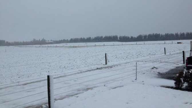
SNOW
Snow was pictured falling on the Crown Range Rd at Queenstown this morning, and Lindis Pass in Otago was also expected to see some powder.
Take your Radio, Podcasts and Music with you